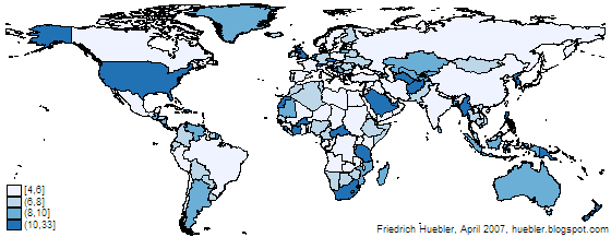
Map created with spmap in Stata: length of country names
Related articles
- Guide to creating maps with Stata
- Guide to creating PNG images with Stata
- Guide to integrating Stata and external text editors
- Guide to reading Statalist with Gmail
Permanent URL: http://huebler.blogspot.com/2007/04/updates-to-two-stata-guides.html


